East Tennessee Storm Outbreak Sunday Causes Widespread Damage And Power Outages
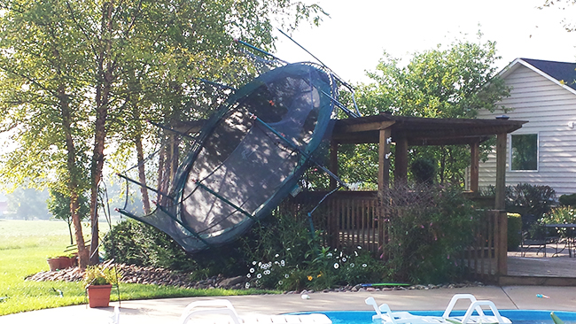
Storm damage photo submitted by Jason Randolph
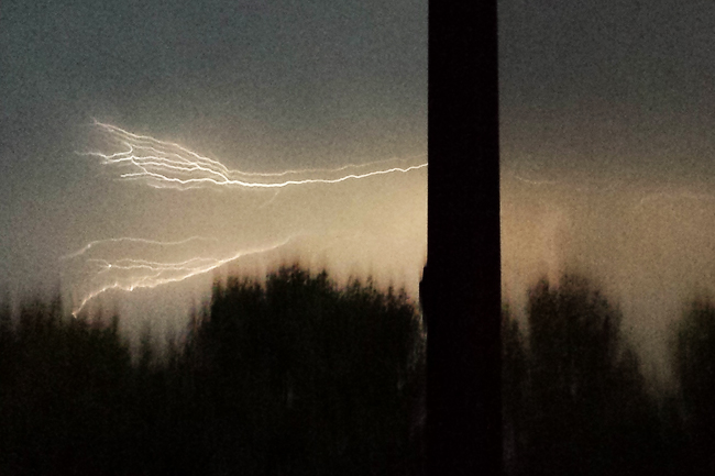
Storm Photo taken by Lauren Hurdle, Jefferson County Post Marketing Director from her residence Sunday night.
A weather pattern more indicative of fall than mid summer moved through East Tennessee on Sunday evening, July 27, 2014, bring high winds and a plethora of lightening to the area. While authorities are still weighing in on damage that impacted the upper portion of the region, Jefferson County largely skidded by with minimal damage from straight line winds. Sporadic power outages and toppled trees, as well as dangerous lightening, were the worst of the impact from the storm locally. In other areas of the region, as many as ten homes have been reported to be demolished and thousands without power, as the question of tornadic activity is still largely unanswered.
The first line of storms moved through the Jefferson County area around 7pm and was followed by another line in the early morning hours. While the rain appeared to arrive in blowing sheets, sometimes accompanied by small hail, the actual amount of rain logged in the area for July 27, 2014 was only .16 of an inch in Dandridge and Jefferson City, according to the Weather Channel. Temperatures tipping the 90 degree mark on Sunday set the stage for the storm outbreak. Noticeably cooler temperatures are on tap for the remainder of the week, with the high numbers not reaching into the mid 80s again until the middle of the first week in August.

Storm clouds over Dandridge, TN approximately an hour prior to main line of storms passing through area.
Staff Photo by Jeff Depew